We got down to our vehicle on the car deck of the ferry at
about 11:00 AM on Thursday Aug. 1, and found Salty very happy to see us but
apparently fine. At the tourist info.
centre just off the ferry we saw more vehicles from BC than we had on our
entire trip since western Alberta, and we talked to several of the people. We had to completely re-think our
Newfoundland itinerary, as we found ourselves on the other side of the island
than what we had planned. Our first stop
was Castle Hill National Historic Site, where a fort had been built to protect
the beach at Placentia, which was a vital spot for drying fish back in the
day. We also learned about the early
French fishing settlement, and the tensions with the Basque fishermen that came
every summer.


Then it was on to St. John’s, where we headed straight for Signal Hill. There was no parking to be had at the interpretive centre, so we drove higher up, to the Cabot Tower, a gun battery from the 1800’s that was upgraded during the second world war. We had lunch there, in the parking lot. After trying unsuccessfully to find the eastern Mile Zero of the Trans-Canada Highway (there doesn’t seem to be any kind of a marker like there is in Victoria), we headed back downtown and found free parking in a commercial lot (it was just after 5:00 PM). From there we walked along Water Street for a few blocks, but couldn’t access the famous George Street because it was blocked off for a big music festival (The Bare Naked Ladies were playing later that night, and it cost $40 just to get onto the street, with no kids allowed), but we still got exposed to some of the atmosphere and excitement. We went to find the legislature but it was under renovation, so we then went out to see the lighthouse at Cape Spear, the easternmost point of land in North America. We made dinner in the parking lot there and contemplated spending the night, but ended up driving to a Wal-Mart in Mount Pearl, a suburb of St. John’s, and slept there.


On Friday morning Shannon and I went to Timmy’s on the other side of the mall to buy breakfast. I then took the vehicle to Canadian Tire to get the tires re-torqued, while the others went shopping at Wal-Mart. By the time we left St. John’s it was already 1:30 PM. We drove up the coast to an early Irish settlement called Brigus, where we saw the end of a play and toured Hawthorne Cottage, the home of Captain Robert Bartlett, who sailed with Peary on his polar expedition and later became an accomplished naturalist and made many voyages to the arctic. We continued north a short distance to Bay Roberts and then crossed to Dildo, returned to the Trans-Canada Highway and followed it north to Clarenville at the bottom of the Avalon Peninsula and finally headed east as far as Lockston Path Provincial Park, where we camped for the night. Tonight, on day 42 of our scheduled 71 day trip, for the first time we are actually more than a few km closer to home than we were the night before.


We got another late start on Saturday August 3, watching
part of a movie after breakfast before heading north to Bonavista, famous from
the Canadian version of the song “This Land is Your Land” and also mentioned in
“I’s the bye”. It is here that the
explorer John Cabot is believed to have landed in 1497. We toured a lighthouse, and had lunch by the
John Cabot statue, then saw “The Dungeon”, a sea cave with a collapsed roof and
two entrances to the ocean. We then
toured Ryan Premises National Historic Site, a cod fish drying/processing
operation that ran for several hundred years.
Finally we headed south to Terra Nova National Park, where we camped for
the night. It was on this day that the
other shoe dropped in terms of the ferry that had run aground the day we came
over to Newfoundland – they had shuffled their routes and completely cancelled
the Argentia run for the rest of August, and were not taking any new bookings
for the Port aux Basques run (the one we needed) until further notice, until
they had dealt with all the reservations that they already had for the Argentia
route. Translation: we’re stuck on “the
Rock” until further notice, and the only advice they could offer was to call
back once or twice a day to see if things had changed!


Castle Hill, near Placentia
Then it was on to St. John’s, where we headed straight for Signal Hill. There was no parking to be had at the interpretive centre, so we drove higher up, to the Cabot Tower, a gun battery from the 1800’s that was upgraded during the second world war. We had lunch there, in the parking lot. After trying unsuccessfully to find the eastern Mile Zero of the Trans-Canada Highway (there doesn’t seem to be any kind of a marker like there is in Victoria), we headed back downtown and found free parking in a commercial lot (it was just after 5:00 PM). From there we walked along Water Street for a few blocks, but couldn’t access the famous George Street because it was blocked off for a big music festival (The Bare Naked Ladies were playing later that night, and it cost $40 just to get onto the street, with no kids allowed), but we still got exposed to some of the atmosphere and excitement. We went to find the legislature but it was under renovation, so we then went out to see the lighthouse at Cape Spear, the easternmost point of land in North America. We made dinner in the parking lot there and contemplated spending the night, but ended up driving to a Wal-Mart in Mount Pearl, a suburb of St. John’s, and slept there.


Signal Hill


St. Johns (bright houses, oldest street in North America, legislature)


Cape Spear (easternmost point in North America)
On Friday morning Shannon and I went to Timmy’s on the other side of the mall to buy breakfast. I then took the vehicle to Canadian Tire to get the tires re-torqued, while the others went shopping at Wal-Mart. By the time we left St. John’s it was already 1:30 PM. We drove up the coast to an early Irish settlement called Brigus, where we saw the end of a play and toured Hawthorne Cottage, the home of Captain Robert Bartlett, who sailed with Peary on his polar expedition and later became an accomplished naturalist and made many voyages to the arctic. We continued north a short distance to Bay Roberts and then crossed to Dildo, returned to the Trans-Canada Highway and followed it north to Clarenville at the bottom of the Avalon Peninsula and finally headed east as far as Lockston Path Provincial Park, where we camped for the night. Tonight, on day 42 of our scheduled 71 day trip, for the first time we are actually more than a few km closer to home than we were the night before.

Hawthorne Cottage

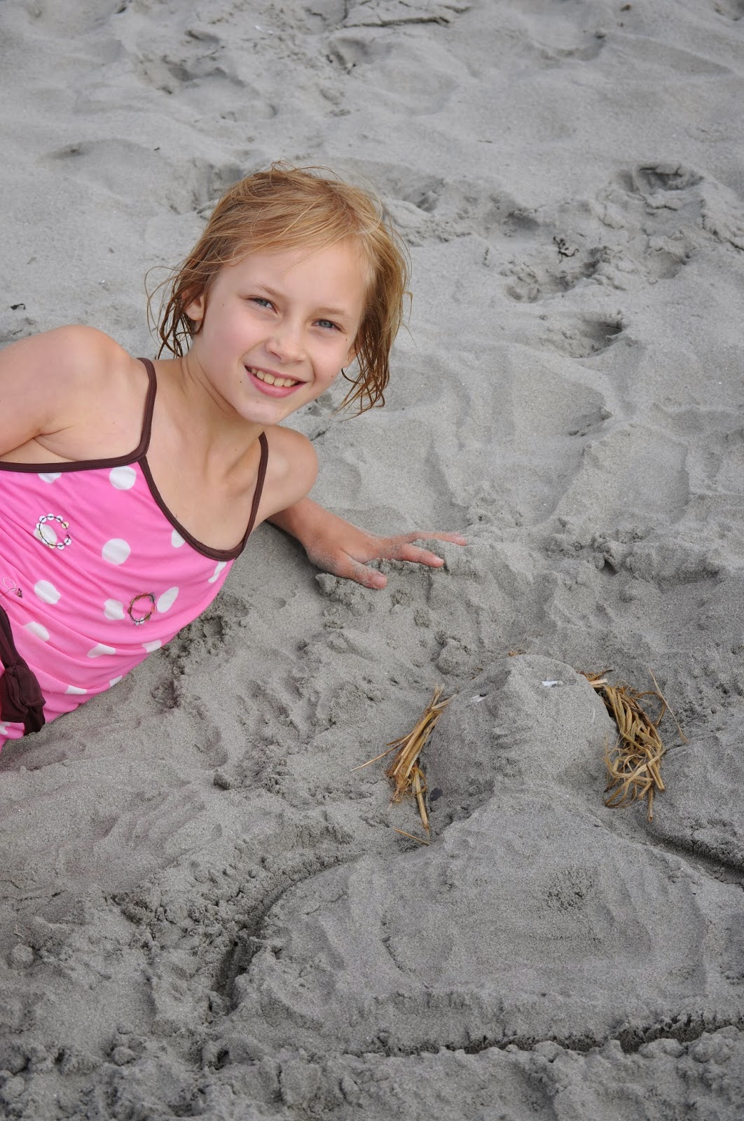
Lyndsay practicing at campsite


Bonavista


Bonavista lighthouse, John Cabot statue

The Dungeon

Ryan Premises historical fish processing plant, Bonavista
We couldn’t even get through to the ferry company on the phone on Sunday morning, so we just left our campsite and went to the Terra Nova National Park Visitor Centre, where we enjoyed the displays including the tank where you could touch the crabs, starfish, etc., as well as walking on the dock and looking at jellyfish. We then participated in a chocolate making workshop with the Newfoundland Chocolate Company where we all got to make chocolate mooses (meese?) and also did a scavenger hunt. We then followed the Trans-Canada Highway to Gander where we briefly looked at the airport and then did some shopping, and met some fellow travellers from BC who told us that we simply must go up north to see Twillingate. So that’s what we did, although by the time we got there we only had time to find the RV park just north of town and get set up before making dinner. (At Gander I had also finally managed to get through to the ferry company and was able to book passage for early Thursday morning back to North Sydney.) It was nice to be able to just sit and relax and enjoy the sunset over the water.


Terra Nova National Park Visitor Centre - on the dock, and making chocolate moose
On Monday August 5 we enjoyed sunshine at the RV Park in the
morning, then packed up and drove into Twillingate, where we bought fishcakes
and mussels at a small dockside shop.
This place has a pretty little harbour that perfectly matches my
perception of what these outpost Newfoundland villages would look like. It is the type of place they sing about in
songs like “I’s the Bye” (“Fogo, Twillingate, Moreton’s Harbour, all around the
Circle”). These places are all on
islands of varying sizes, connected to the main island of Newfoundland by a
series of causeways and bridges (no doubt built some time after the song was
written). From Twillingate we headed
south to the Trans-Canada Highway at Grand Falls-Windsor, where we did some shopping. We continued west to Deer Lake, stopping to
make lunch at a small roadside tourist information centre somewhere along the
way. At Deer Lake we turned north to
Gros Morne National Park, and headed straight for the Visitor Centre, since we
already had our campsite reserved. After
getting some information on things to see in the park we went into the village
of Rocky Harbour, where we bought some halibut for dinner. Near Western Brook Pond we saw our first
moose on the highway (this turned out to be the only moose we saw on our entire trip), and we then continued north to Shallow Bay campground near the
village of Cow Head to set up camp, have dinner, etc.


Twilingate Area

Our only moose sighting, Gros Morne National Park
Tuesday August 6 was our first planned day in several weeks of
staying in the same place for two nights in a row and not having to move the
RV, so naturally it rained overnight and all morning! In the afternoon the sun came out and we were
able to get some stuff done, including making some minor repairs to the
motorhome, and then we went to the beach where Salty had a great time in the
waves and the girls and I all tried skimboarding, which was a fail since none
of us really know how to do it. After
dinner we all went over to the kitchen shelter which had electrical outlets and
was also a wifi hotspot, and had some family quality time charging and staring
out our various computers, iPhones, iPads, iPods, etc.


On the beach at Cow Head, Gros Morne National Park
We left our campsite late Wednesday morning and then did
several activities in Gros Morne National Park, as we had the whole day and
evening to get to Port-aux-Basques. This
included stopping at the trailhead for Western Brook Pond to take some photos,
hiking to the top of Berry Hill, returning to the Visitor Center that we had
visited briefly on Monday evening, doing a short hike to a waterfall near the
south entrance to the park, and finally driving 35 km off the main highway to
the main Interpretive Centre for the park, which had already closed for the
evening. A parks employee returning from
somewhere to pick up her own vehicle was kind enough to open the building for
us and allow the girls to complete their Explorer activities and get their dog
tags. We then left the park and drove to
Corner Brook for gas, but couldn’t find an open restaurant to get dinner, so we
just kept driving to the ferry terminal at Port-aux-Basques, arriving about
11:45 PM. After a snack in the cafeteria
there we got some sleep in the parking lot before boarding the ferry between
3:00 and 4:00 AM and finding a place to sleep some more.


Gros Morne National Park - various locations
No comments:
Post a Comment